Hiking to Brufjell and Brufjellhålene
During the first week of September 2015, me and my son visited this famous potholes, which is called brufjellhålene or translated into giant cave or potholes. It is located in Roligheten, Flekkefjord, around 2 hours driving from where I lived. The hiking distance to this potholes is not far (less than 2 km). The hiking path is divided into 3 categories: blue, red and black. Blue is medium, red is challenging and black is for experience hikers. However, to reach the potholes, we have to hike through the black path.
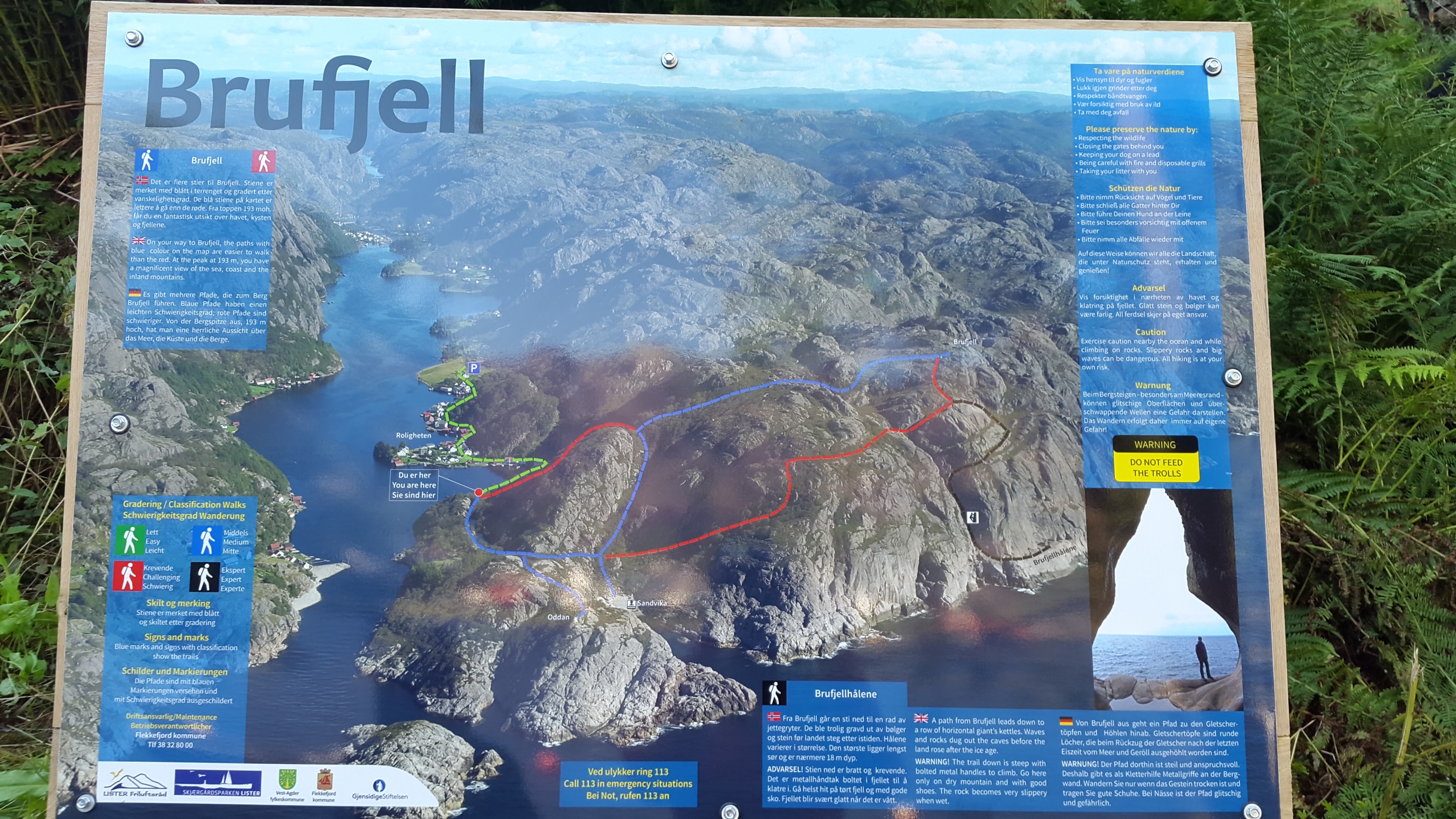
Hiking Map to Brufjell
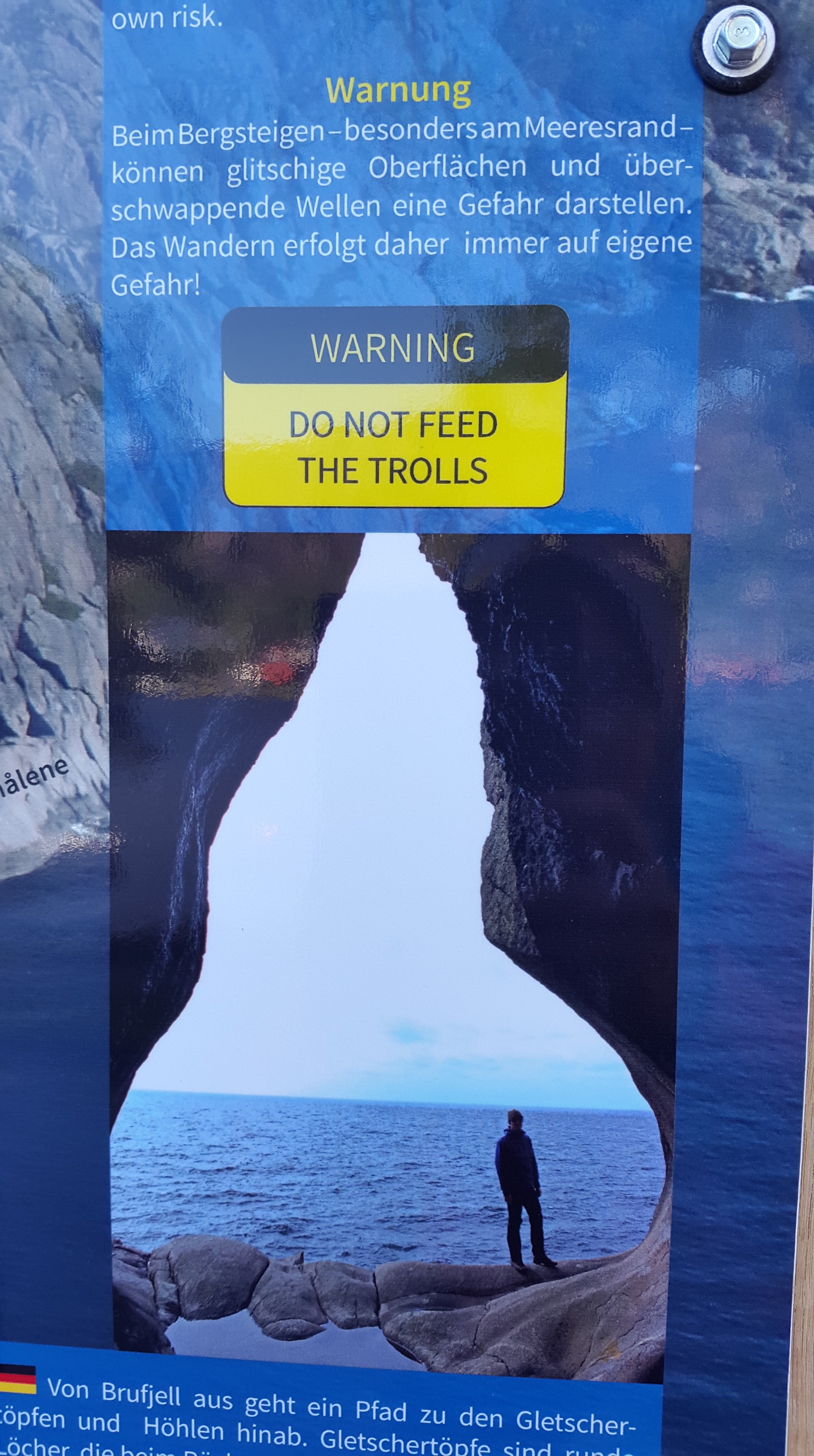
DO NOT FEED THE TROLLS 🙂
Me and my son decided to make a round trip and start from the blue path to reach Sandviga, which is a hidden beach. My son said this beach should be called stone beach instead of sandviga since it is surround by the rocks:)

The path to Sandviga
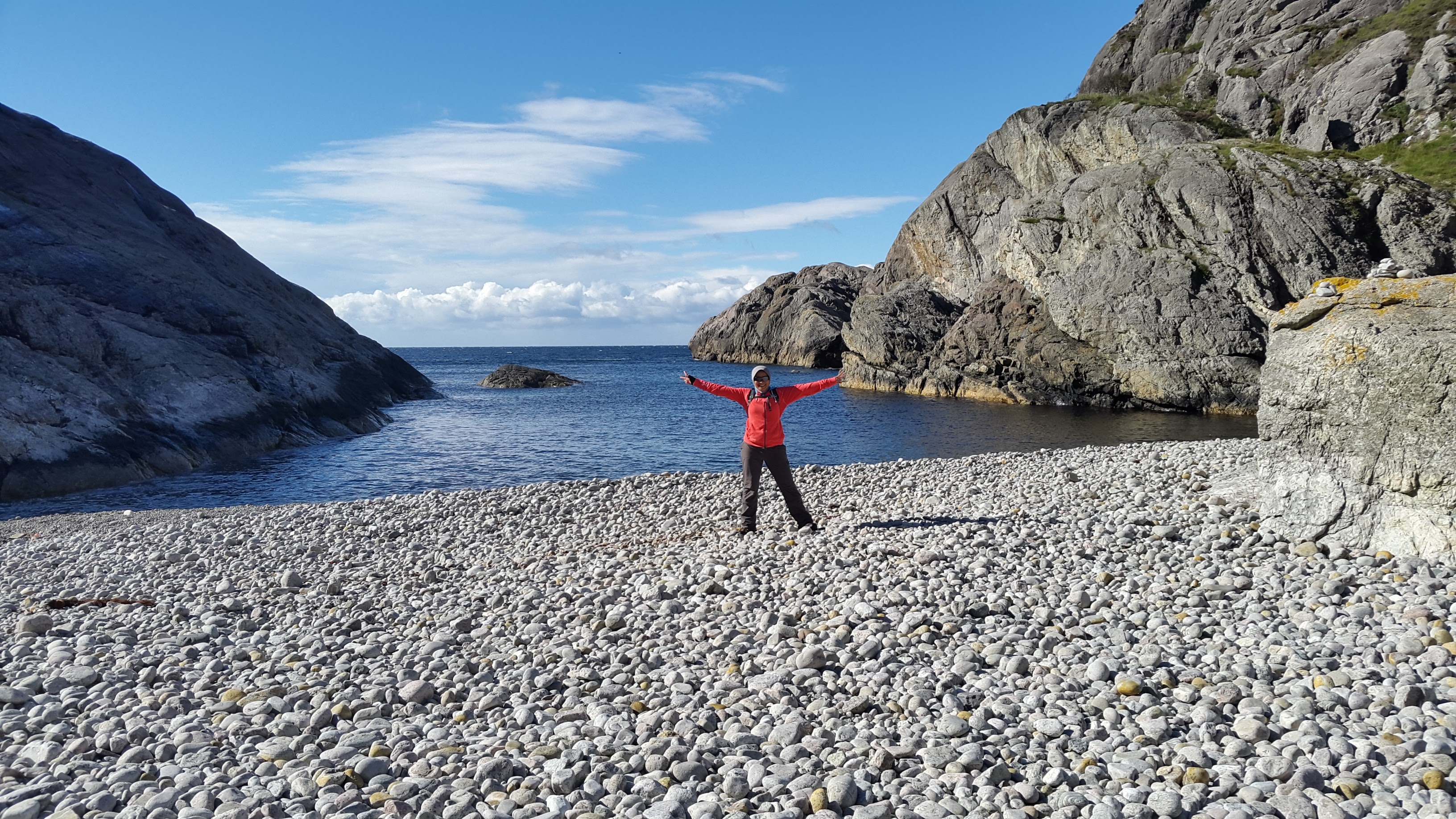
Sandviga
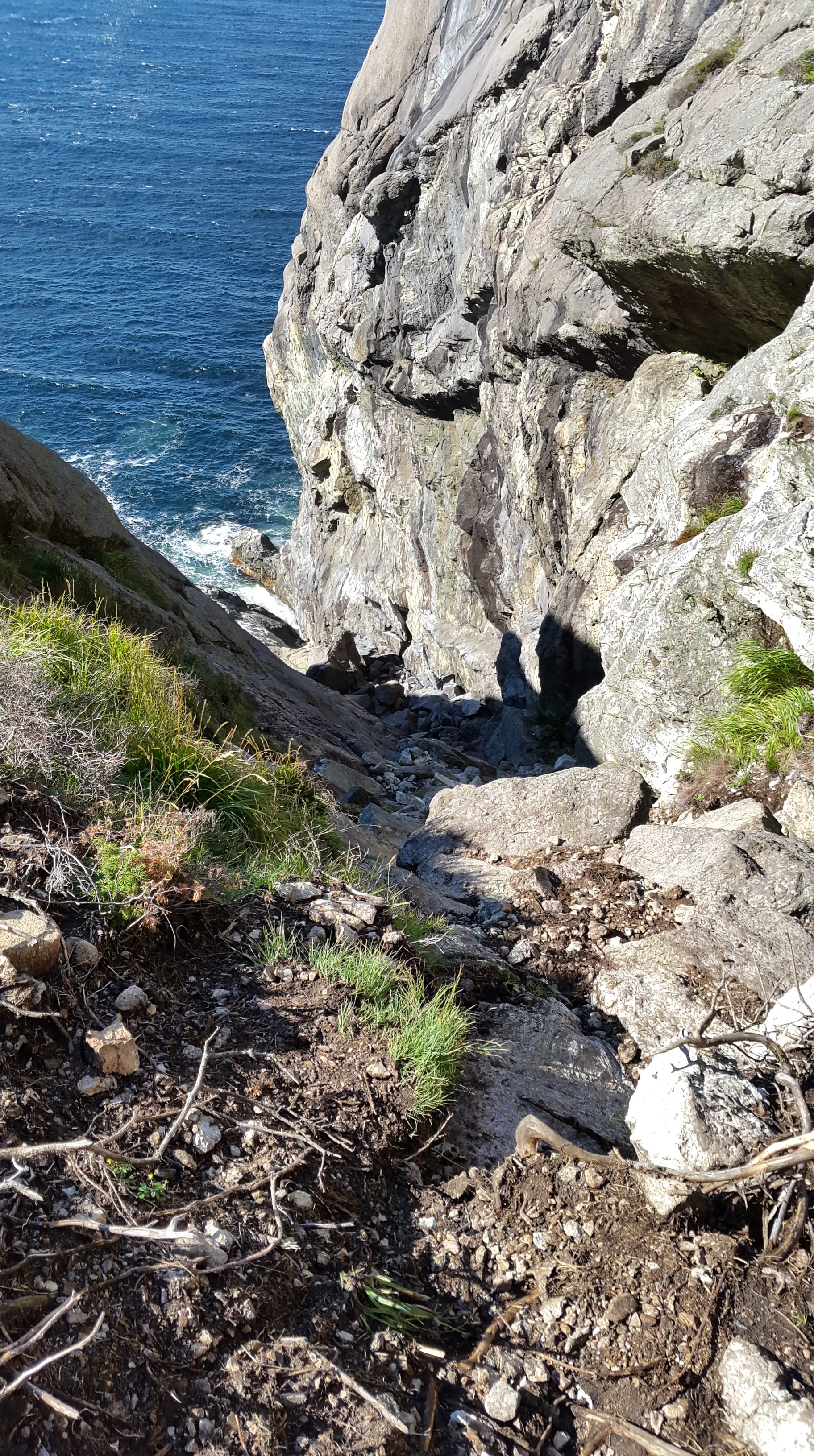
From the Sandviga, the hiking becomes difficult due to strong wind and the hiking path is very steep. I had to hold my son and sometimes I had to push him to reach the top of the clip.

Sandviga from top
When we finally walked down to the potholes, there was one woman who decided to walked back since she said it was too dangerous. However, me and my son decided to try it. And honestly, I was scared too since it was dangerous. You can see that we only hang on these steel stairs, which very small and had a distance to each other around 1 meter. I had to tell my son to step on my feet so that he won’t fall down. I scratched my hand and got bruises on my knees while trying to keep my body intact with the rocks.
We need to climb down this rock to see the potholes.
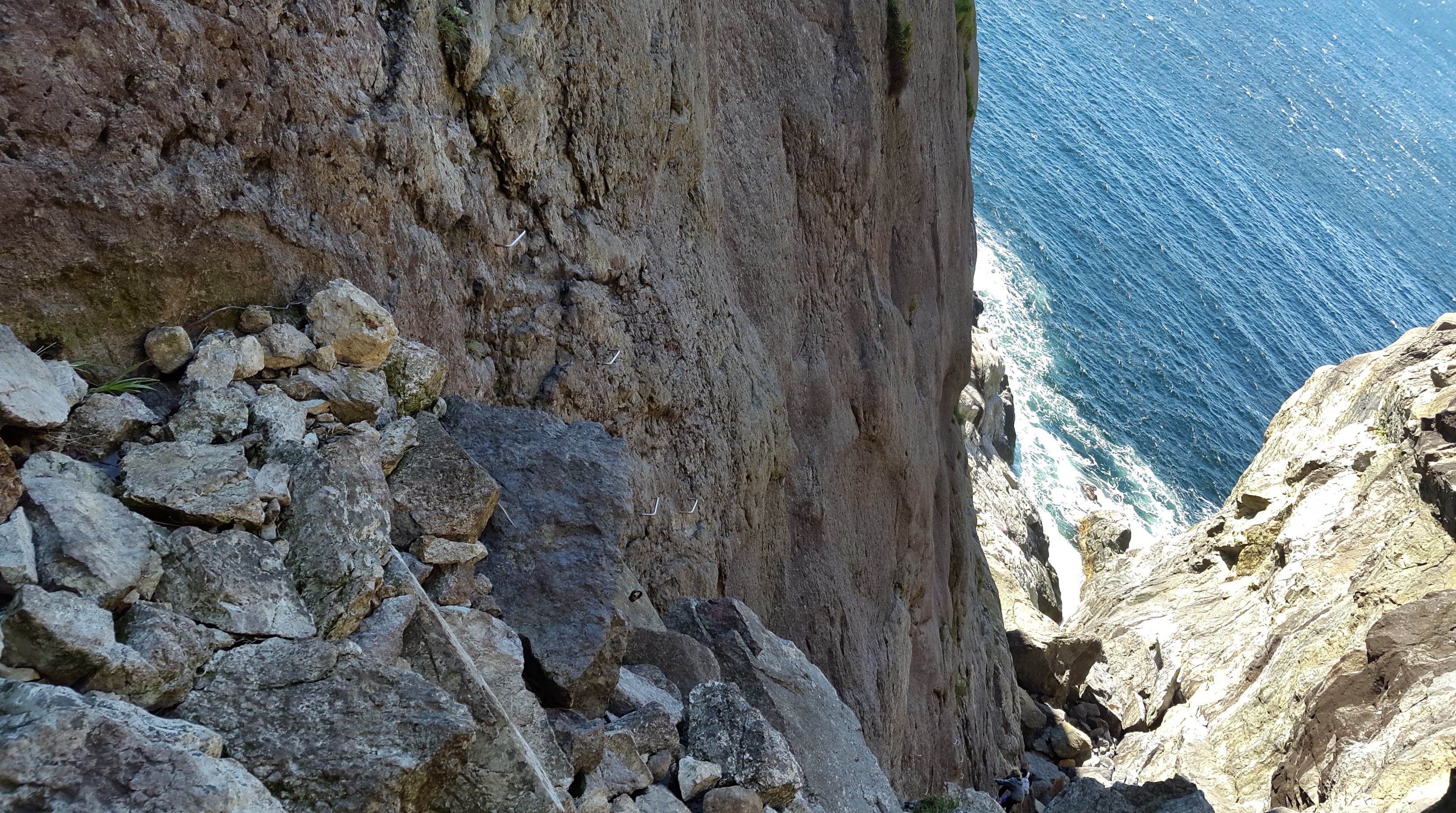
The steel stairs to hang onto

Some people behind us who climbed down the rock
Finally, we reached the potholes. The rock surrounding the potholes called anorthosite (Magmageopark)

Resting and having lunch in one of the cave in Brufjellhålene
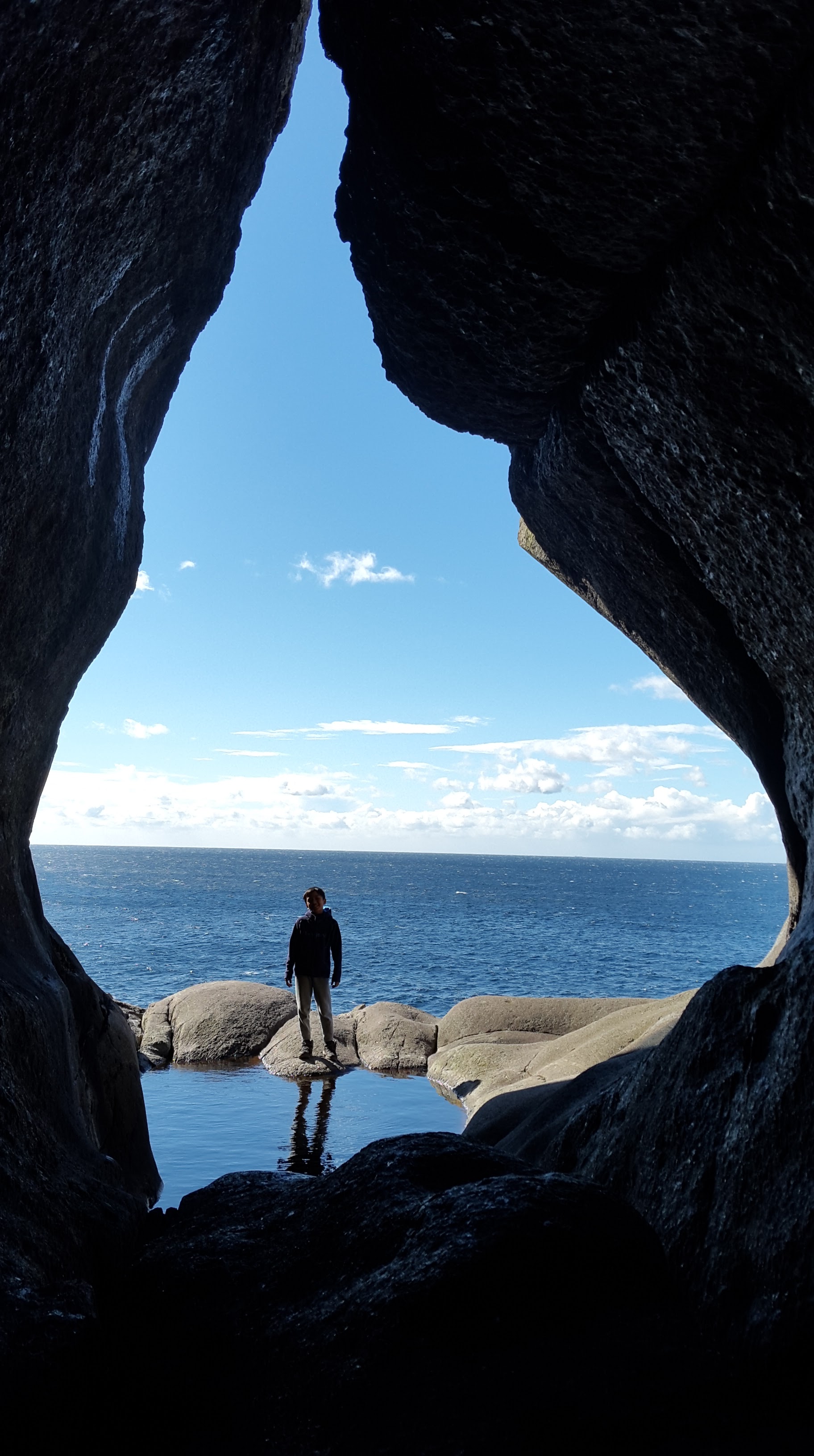
My son posed in Brufjellhålene (Potholes)
We had to climb up the rock again to go back to the top.

My son climbed up the rock
We continued walking to the brufjell and writing down our names in the “turboka” and took some pictures. The wind was so strong that we had to hold onto the rocks 😉

Top of Brufjell
It was a good trip but I think once is enough. It was too risky and dangerous. We walked back to the parking lot and took the red hiking path. It was shorter but a bit steep. I walked very carefully and hold my son hand so that he won’t fall down. The hiking trip to this potholes is only for summer time hiking. I don’t think it is safe to go there if it is rain since it will be so slippery and very dangerous.
Below is the picture taken on the way back to the parking lot.
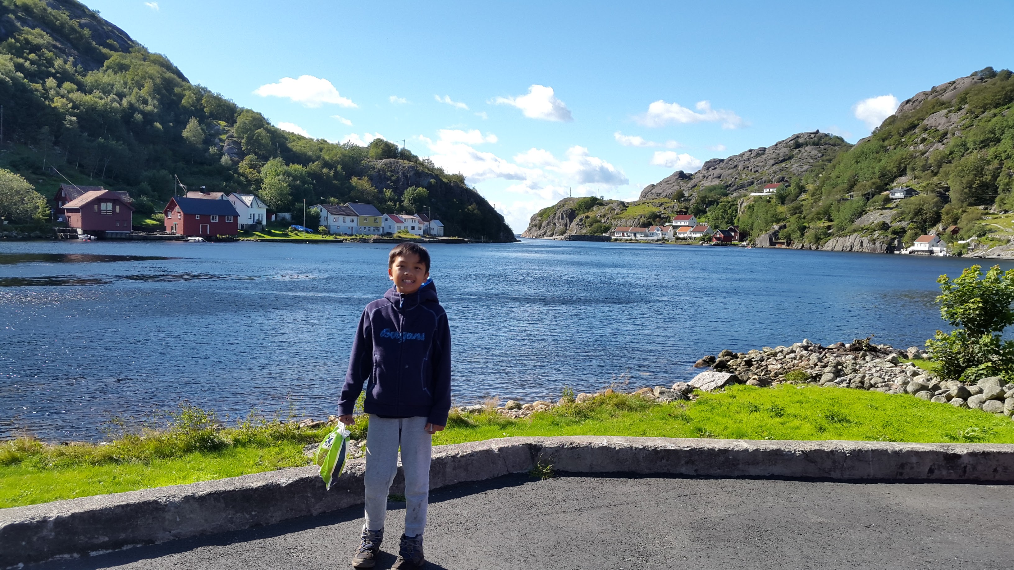
Roligheten, Åna Sira
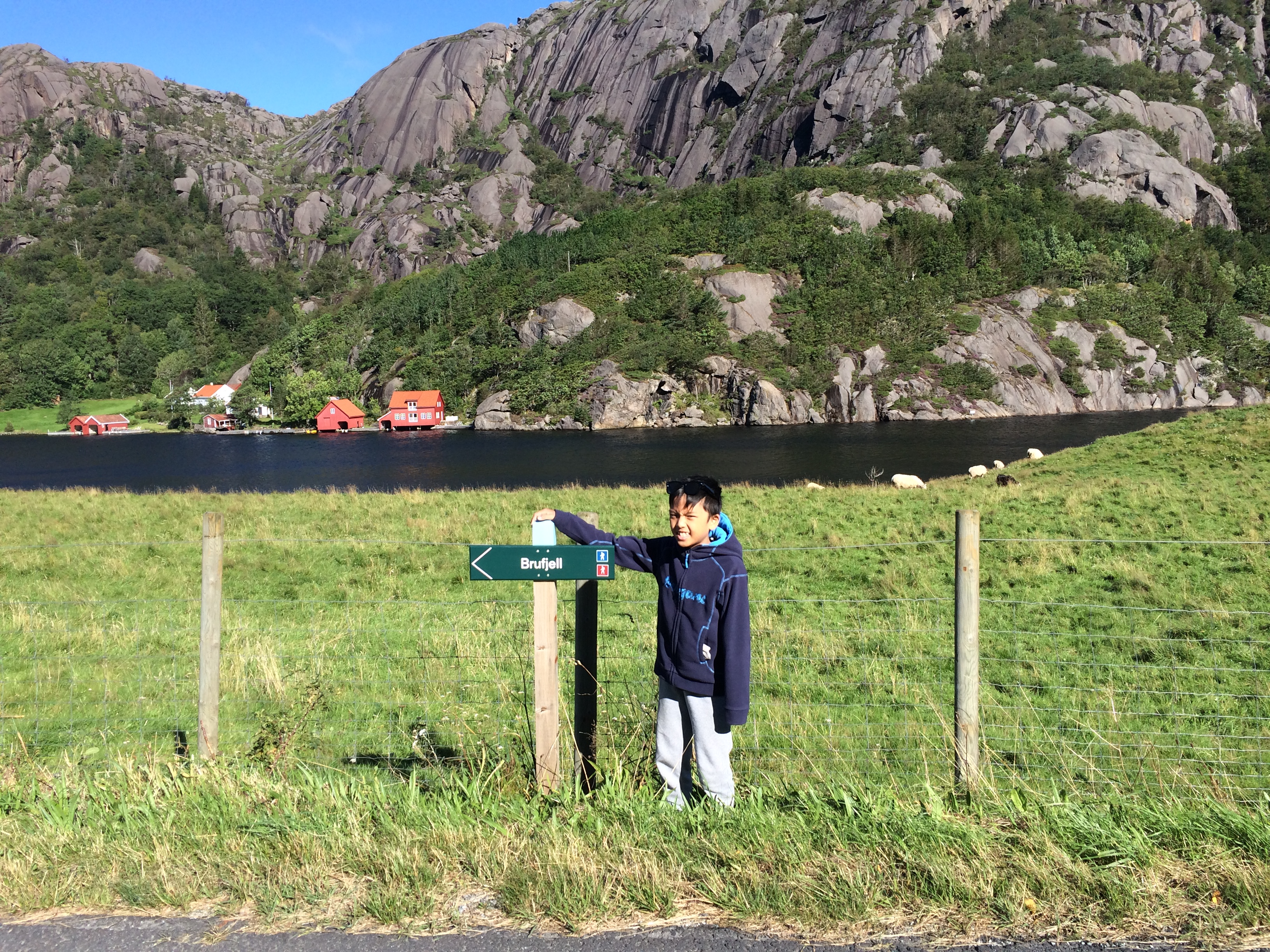
The sign to Brufjell next to the parking lot
Just remember to wear proper hiking shoes, wear sunscreen, bring enough water, some snacks to eat (chocolate, bananas, wafer, etc.), bring some emergency kit, and power bank for your mobile phone.
Have fun hiking!
